The junction of Grove Road and Dromara Road
Introduction
The photograph on this page of The junction of Grove Road and Dromara Road by Eric Jones as part of the Geograph project.
The Geograph project started in 2005 with the aim of publishing, organising and preserving representative images for every square kilometre of Great Britain, Ireland and the Isle of Man.

There are currently over 7.5m images from over 14,400 individuals and you can help contribute to the project by visiting https://www.geograph.org.uk
The junction of Grove Road and Dromara Road
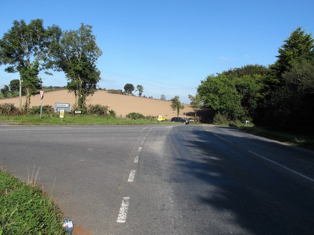
Image: © Eric Jones Taken: 29 Sep 2015
The car in the background is exiting from Edenavaddy Road. Grove Road swings to the right in the direction of the town of Ballynahinch.
Images are licensed for reuse under creativecommons.org/licenses/by-sa/2.0
Image Location
Latitude
54.396752
Longitude
-5.913241