Southern end of Riverside, Pontypool
Introduction
The photograph on this page of Southern end of Riverside, Pontypool by Jaggery as part of the Geograph project.
The Geograph project started in 2005 with the aim of publishing, organising and preserving representative images for every square kilometre of Great Britain, Ireland and the Isle of Man.

There are currently over 7.5m images from over 14,400 individuals and you can help contribute to the project by visiting https://www.geograph.org.uk
Southern end of Riverside, Pontypool
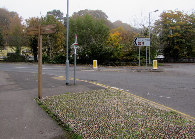
Image: © Jaggery Taken: 3 Nov 2015
Viewed from the corner of Forge Lane. Riverside, along a bank of the Afon Lwyd, leads to the A4043 600 metres away. The A4043 is a route to Blaenavon.
Images are licensed for reuse under creativecommons.org/licenses/by-sa/2.0
Image Location
Latitude
51.703844
Longitude
-3.04085