Wooden Community Link signpost in central Pontypool
Introduction
The photograph on this page of Wooden Community Link signpost in central Pontypool by Jaggery as part of the Geograph project.
The Geograph project started in 2005 with the aim of publishing, organising and preserving representative images for every square kilometre of Great Britain, Ireland and the Isle of Man.

There are currently over 7.5m images from over 14,400 individuals and you can help contribute to the project by visiting https://www.geograph.org.uk
Wooden Community Link signpost in central Pontypool
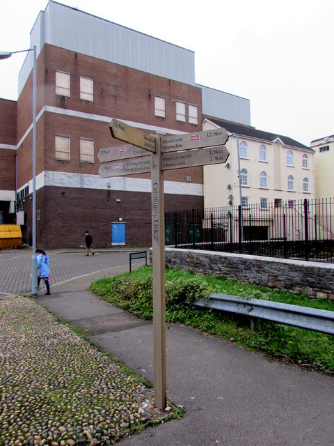
Image: © Jaggery Taken: 3 Nov 2015
On the corner of Riverside and Forge Lane. Most of the locations and distances shown are for cycling and walking routes using National Cycle Network Route 492, such as 12.9km to Blaenavon and 7.5km to Cwmbran. Distances in miles are not shown.
Images are licensed for reuse under creativecommons.org/licenses/by-sa/2.0
Image Location
Latitude
51.703752
Longitude
-3.040993