Earth bank at Castle Canyke
Introduction
The photograph on this page of Earth bank at Castle Canyke by Rod Allday as part of the Geograph project.
The Geograph project started in 2005 with the aim of publishing, organising and preserving representative images for every square kilometre of Great Britain, Ireland and the Isle of Man.

There are currently over 7.5m images from over 14,400 individuals and you can help contribute to the project by visiting https://www.geograph.org.uk
Earth bank at Castle Canyke
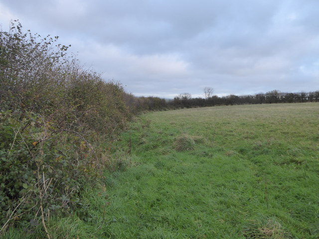
Image: © Rod Allday Taken: 7 Nov 2015
The bank around this massive Iron Age defensive settlement is incorporated into the field boundary hedge.
Images are licensed for reuse under creativecommons.org/licenses/by-sa/2.0
Image Location
Latitude
50.462326
Longitude
-4.698659