Alsager: The Alsager Arms
Introduction
The photograph on this page of Alsager: The Alsager Arms by Jonathan Hutchins as part of the Geograph project.
The Geograph project started in 2005 with the aim of publishing, organising and preserving representative images for every square kilometre of Great Britain, Ireland and the Isle of Man.

There are currently over 7.5m images from over 14,400 individuals and you can help contribute to the project by visiting https://www.geograph.org.uk
Alsager: The Alsager Arms
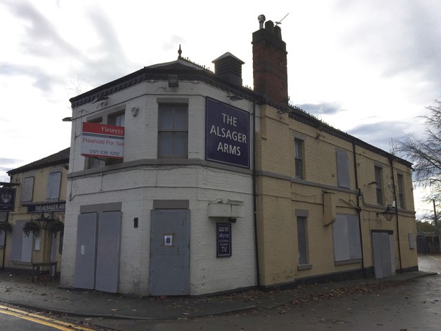
Image: © Jonathan Hutchins Taken: 7 Nov 2015
The up-and-down fortunes of the Alsager Arms continue: closed in October 2009 when photographed by Stephen Craven http://www.geograph.org.uk/photo/1567208 , open in May 2015 http://www.geograph.org.uk/photo/4492085 , but closed again November 2015.
Images are licensed for reuse under creativecommons.org/licenses/by-sa/2.0
Image Location
Latitude
53.093268
Longitude
-2.300254