Houses and lane in Bethania, Ceredigion
Introduction
The photograph on this page of Houses and lane in Bethania, Ceredigion by Roger D Kidd as part of the Geograph project.
The Geograph project started in 2005 with the aim of publishing, organising and preserving representative images for every square kilometre of Great Britain, Ireland and the Isle of Man.

There are currently over 7.5m images from over 14,400 individuals and you can help contribute to the project by visiting https://www.geograph.org.uk
Houses and lane in Bethania, Ceredigion
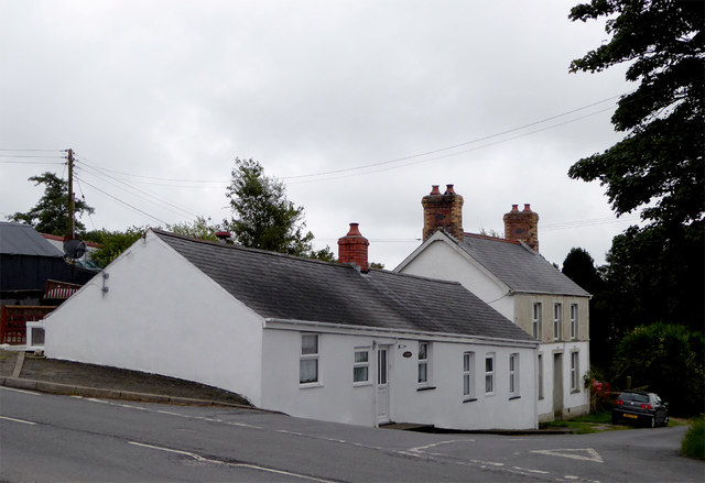
Image: © Roger D Kidd Taken: 14 Aug 2015
The narrow lane off the B4577 leads south-west towards (eventually) Temple Bar.
Images are licensed for reuse under creativecommons.org/licenses/by-sa/2.0
Image Location
Latitude
52.250618
Longitude
-4.089613