The B4577 to Aberarth, Ceredigion
Introduction
The photograph on this page of The B4577 to Aberarth, Ceredigion by Roger D Kidd as part of the Geograph project.
The Geograph project started in 2005 with the aim of publishing, organising and preserving representative images for every square kilometre of Great Britain, Ireland and the Isle of Man.

There are currently over 7.5m images from over 14,400 individuals and you can help contribute to the project by visiting https://www.geograph.org.uk
The B4577 to Aberarth, Ceredigion
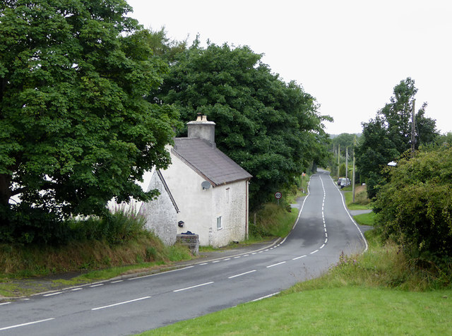
Image: © Roger D Kidd Taken: 14 Aug 2015
Seen here leaving Bethania, the A4577 links the A485 at Tyncelyn, via Penuwch, Bethania and Cross Inn, to Aberarth on the coast near Aberaeron.
Images are licensed for reuse under creativecommons.org/licenses/by-sa/2.0
Image Location
Latitude
52.251234
Longitude
-4.090375