Lichfield Road: flats and fungi
Introduction
The photograph on this page of Lichfield Road: flats and fungi by John Sutton as part of the Geograph project.
The Geograph project started in 2005 with the aim of publishing, organising and preserving representative images for every square kilometre of Great Britain, Ireland and the Isle of Man.

There are currently over 7.5m images from over 14,400 individuals and you can help contribute to the project by visiting https://www.geograph.org.uk
Lichfield Road: flats and fungi
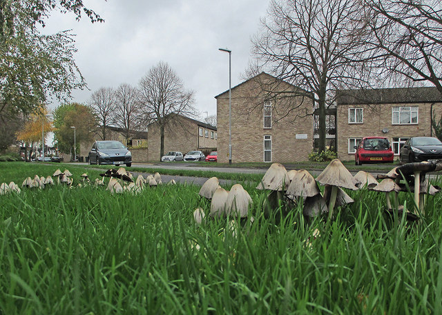
Image: © John Sutton Taken: 7 Nov 2015
The flats were built in the 1970s, replacing Prefabs built in 1946. These fungi appear on this patch of roadside grass every autumn. People who know about fungi have advised me that they are common ink caps.
Images are licensed for reuse under creativecommons.org/licenses/by-sa/2.0
Image Location


Leaflet Map data © OpenStreetMap
Latitude
52.18918
Longitude
0.151487