Oatlands Avenue
Introduction
The photograph on this page of Oatlands Avenue by James Emmans as part of the Geograph project.
The Geograph project started in 2005 with the aim of publishing, organising and preserving representative images for every square kilometre of Great Britain, Ireland and the Isle of Man.

There are currently over 7.5m images from over 14,400 individuals and you can help contribute to the project by visiting https://www.geograph.org.uk
Oatlands Avenue
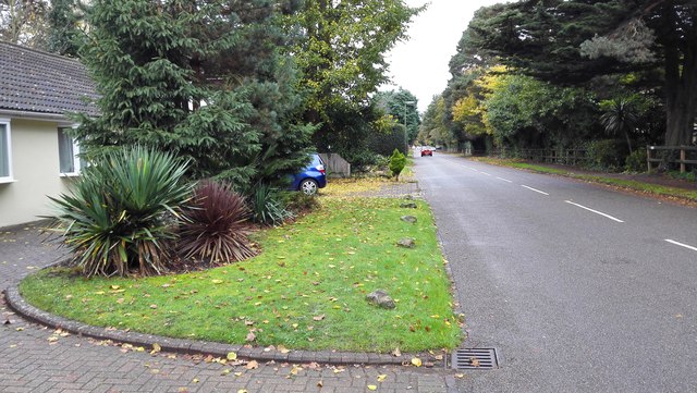
Image: © James Emmans Taken: 6 Nov 2015
The road runs parallel to the railway. Must have been built on the original Ashley Park estate after the land was sold to the railway company, the railway was built in 1838 cutting through Ashley Park. The road could have been built later around 1880.
Images are licensed for reuse under creativecommons.org/licenses/by-sa/2.0
Image Location
Latitude
51.36884
Longitude
-0.435564