Path to Queen Elizabeth II Country Park
Introduction
The photograph on this page of Path to Queen Elizabeth II Country Park by Russel Wills as part of the Geograph project.
The Geograph project started in 2005 with the aim of publishing, organising and preserving representative images for every square kilometre of Great Britain, Ireland and the Isle of Man.

There are currently over 7.5m images from over 14,400 individuals and you can help contribute to the project by visiting https://www.geograph.org.uk
Path to Queen Elizabeth II Country Park
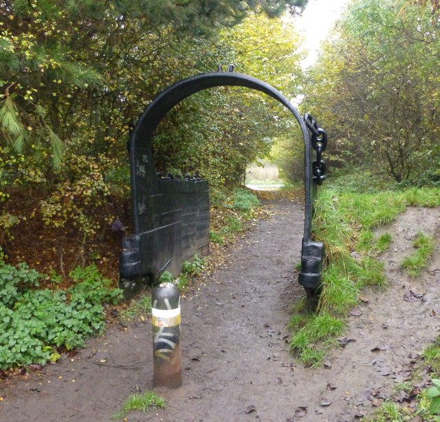
Image: © Russel Wills Taken: 5 Nov 2015
Passing through what looks like a facility from a coal mine, possibly from the nearby Woodhorn Colliery.
Images are licensed for reuse under creativecommons.org/licenses/by-sa/2.0
Image Location
Latitude
55.187995
Longitude
-1.556596