Lower Solbury
Introduction
The photograph on this page of Lower Solbury by Roger W Haworth as part of the Geograph project.
The Geograph project started in 2005 with the aim of publishing, organising and preserving representative images for every square kilometre of Great Britain, Ireland and the Isle of Man.

There are currently over 7.5m images from over 14,400 individuals and you can help contribute to the project by visiting https://www.geograph.org.uk
Lower Solbury
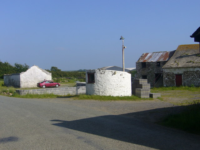
Image: © Roger W Haworth Taken: 8 Jun 2007
The only building in a decent state is the curious circular building with a sloping roof.
Images are licensed for reuse under creativecommons.org/licenses/by-sa/2.0
Image Location
Latitude
51.77026
Longitude
-5.051297