West of Bridport
Introduction
The photograph on this page of West of Bridport by Derek Harper as part of the Geograph project.
The Geograph project started in 2005 with the aim of publishing, organising and preserving representative images for every square kilometre of Great Britain, Ireland and the Isle of Man.

There are currently over 7.5m images from over 14,400 individuals and you can help contribute to the project by visiting https://www.geograph.org.uk
West of Bridport
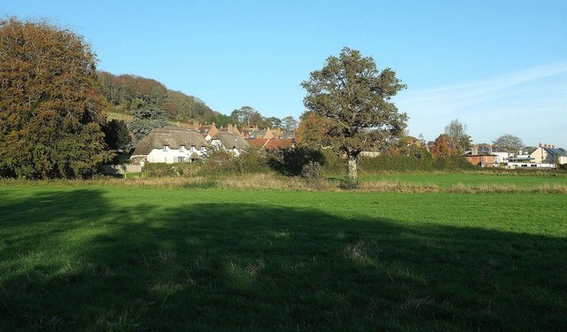
Image: © Derek Harper Taken: 31 Oct 2015
From the farm track shown in Image The houses are on the B3162 West End (once the main A35), or on closes off it. Left of centre are the thatched houses shown in Image In the background is Allington Hill.
Images are licensed for reuse under creativecommons.org/licenses/by-sa/2.0
Image Location
Latitude
50.734591
Longitude
-2.772505