Simene valley
Introduction
The photograph on this page of Simene valley by Derek Harper as part of the Geograph project.
The Geograph project started in 2005 with the aim of publishing, organising and preserving representative images for every square kilometre of Great Britain, Ireland and the Isle of Man.

There are currently over 7.5m images from over 14,400 individuals and you can help contribute to the project by visiting https://www.geograph.org.uk
Simene valley
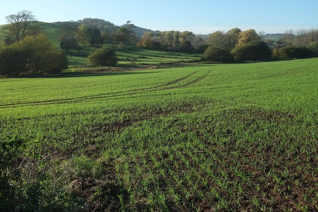
Image: © Derek Harper Taken: 31 Oct 2015
Seen from footpath W3 8 behind the terraced housing on Simene Close seen in Image The path should head out across this crop, remaining at least 50 metres from the river but roughly parallel to it, according to the maps. Across the river are Ryberry Hill, Sloes Hill, and the pine-topped Colmer's Hill.
Images are licensed for reuse under creativecommons.org/licenses/by-sa/2.0
Image Location
Latitude
50.735824
Longitude
-2.776493