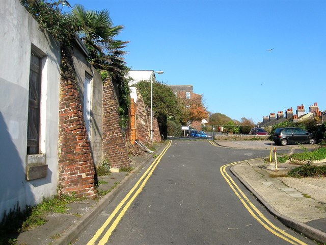
Leicester Street, Brighton
Introduction
The photograph on this page of Leicester Street, Brighton by Simon Carey as part of the Geograph project.
The Geograph project started in 2005 with the aim of publishing, organising and preserving representative images for every square kilometre of Great Britain, Ireland and the Isle of Man.
There are currently over 7.5m images from over 14,400 individuals and you can help contribute to the project by visiting https://www.geograph.org.uk

Image: © Simon Carey Taken: 1 Nov 2015
A cul de sac off Tillstone Street though originally it ran from Edward Street to the south. The street was developed in the 1810s was filled with small cottages on the eastern side and at the far end were Pilgrims Cottages, almshouses for the over 60s in need. They were all demolished in the late 1950s leaving the street empty and used for access for the number 35 Egremont Place. The wall on the left contains back doors for properties on the same street. See http://regencysociety-jamesgray.com/volume24/source/jg_24_045.html for a view taken in 1954 and http://regencysociety-jamesgray.com/volume24/source/jg_24_047.html for a 1968 view when the street was largely demolished

