National Playing Fields Association plaque, Caersws
Introduction
The photograph on this page of National Playing Fields Association plaque, Caersws by Jaggery as part of the Geograph project.
The Geograph project started in 2005 with the aim of publishing, organising and preserving representative images for every square kilometre of Great Britain, Ireland and the Isle of Man.

There are currently over 7.5m images from over 14,400 individuals and you can help contribute to the project by visiting https://www.geograph.org.uk
National Playing Fields Association plaque, Caersws
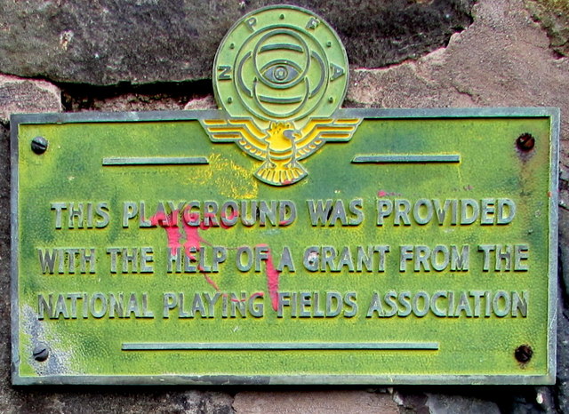
Image: © Jaggery Taken: 4 Nov 2015
The undated plaque is on the side of a bus shelter http://www.geograph.org.uk/photo/4728782, facing this http://www.geograph.org.uk/photo/4728762 playground.
Images are licensed for reuse under creativecommons.org/licenses/by-sa/2.0
Image Location
Latitude
52.516808
Longitude
-3.427804