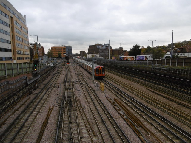
Tracks west of Harrow-on-the-Hill station
Introduction
The photograph on this page of Tracks west of Harrow-on-the-Hill station by Marathon as part of the Geograph project.
The Geograph project started in 2005 with the aim of publishing, organising and preserving representative images for every square kilometre of Great Britain, Ireland and the Isle of Man.
There are currently over 7.5m images from over 14,400 individuals and you can help contribute to the project by visiting https://www.geograph.org.uk

Image: © Marathon Taken: 4 Nov 2015
The station was opened as "Harrow" on 2nd August 1880, when the Metropolitan Railway was extended from its previous terminus at Willesden Green. Its name was changed to "Harrow-on-the-Hill" on 1st June 1894. What is now the Chiltern Line began as the Great Central Railway on 15th March 1899. The Great Central Railway provided services from Harrow to destinations such as Rugby, Leicester, Nottingham and Manchester before the Beeching Axe cut them back to Aylesbury. This view looks from the bridge west of Harrow-on-the-Hill station towards London. The Chiltern Lines are on the far right. A down Metropolitan line train has just left the station.

