Watery Lane
Introduction
The photograph on this page of Watery Lane by Nigel Mykura as part of the Geograph project.
The Geograph project started in 2005 with the aim of publishing, organising and preserving representative images for every square kilometre of Great Britain, Ireland and the Isle of Man.

There are currently over 7.5m images from over 14,400 individuals and you can help contribute to the project by visiting https://www.geograph.org.uk
Watery Lane
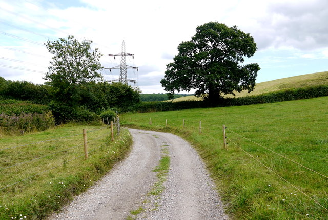
Image: © Nigel Mykura Taken: 7 Aug 2015
For a large part of its length the lane runs alongside a stream hence the name. It leads from the mainroad near Axminster up to Greatwood Farm
Images are licensed for reuse under creativecommons.org/licenses/by-sa/2.0
Image Location
Latitude
50.798101
Longitude
-2.995194