Road to Chardstock and Churchill
Introduction
The photograph on this page of Road to Chardstock and Churchill by Nigel Mykura as part of the Geograph project.
The Geograph project started in 2005 with the aim of publishing, organising and preserving representative images for every square kilometre of Great Britain, Ireland and the Isle of Man.

There are currently over 7.5m images from over 14,400 individuals and you can help contribute to the project by visiting https://www.geograph.org.uk
Road to Chardstock and Churchill
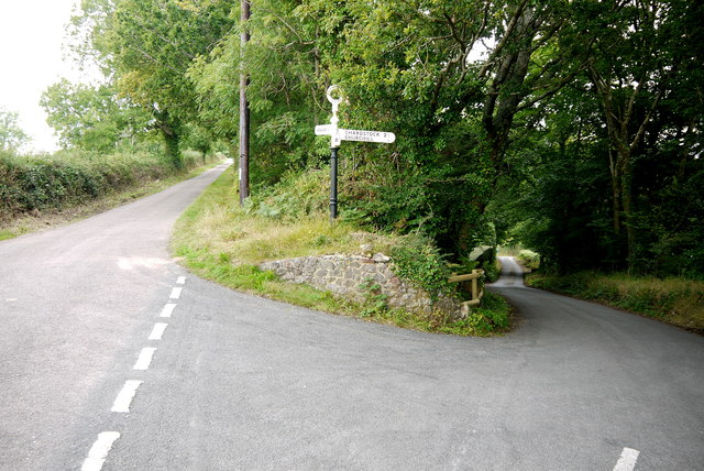
Image: © Nigel Mykura Taken: 7 Aug 2015
The road on the left is Smallridge Lane That runs up a pronounced ridge to Ridge Farm where it becomes Brinscombe lane. The road on the right drops steeply down to Churchill, Alston and Birchill and several other hamlets on the way to Chardstock. The fingerpost sign post is capped with a sign saying Axminster RDC (Rural District Council) shows the distance to Chardstock as 2 1/2 miles and Churchill 1/2 miles.
Images are licensed for reuse under creativecommons.org/licenses/by-sa/2.0
Image Location
Latitude
50.811293
Longitude
-2.998455