The southern end of Black Lake on Lindow Common
Introduction
The photograph on this page of The southern end of Black Lake on Lindow Common by Rod Allday as part of the Geograph project.
The Geograph project started in 2005 with the aim of publishing, organising and preserving representative images for every square kilometre of Great Britain, Ireland and the Isle of Man.

There are currently over 7.5m images from over 14,400 individuals and you can help contribute to the project by visiting https://www.geograph.org.uk
The southern end of Black Lake on Lindow Common
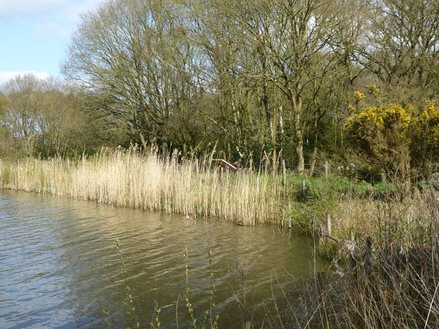
Image: © Rod Allday Taken: 13 Apr 2014
Black Lake got its name from its dark peat-stained water. The early, celtic, name for the lake was Llyn Dhu, from which Lindow is derived.
Images are licensed for reuse under creativecommons.org/licenses/by-sa/2.0
Image Location
Latitude
53.325388
Longitude
-2.249635