Bridle Path to Challenger Farm
Introduction
The photograph on this page of Bridle Path to Challenger Farm by Nigel Mykura as part of the Geograph project.
The Geograph project started in 2005 with the aim of publishing, organising and preserving representative images for every square kilometre of Great Britain, Ireland and the Isle of Man.

There are currently over 7.5m images from over 14,400 individuals and you can help contribute to the project by visiting https://www.geograph.org.uk
Bridle Path to Challenger Farm
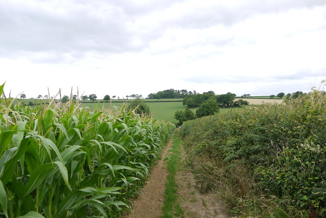
Image: © Nigel Mykura Taken: 7 Aug 2015
Taken from part of the way up Reads Hill from the minor road between Twist and Ten Acre Gate. The road is in the dip beyond the maize where the trees are. The path then runs in a straight line up the hill in the distance on the line of the trees where it cuts across left towards Challenger farm just before it reaches the most distant copse visible.
Images are licensed for reuse under creativecommons.org/licenses/by-sa/2.0
Image Location
Latitude
50.837173
Longitude
-3.011079