Saxonbury, Ashton Rise, Brighton
Introduction
The photograph on this page of Saxonbury, Ashton Rise, Brighton by Simon Carey as part of the Geograph project.
The Geograph project started in 2005 with the aim of publishing, organising and preserving representative images for every square kilometre of Great Britain, Ireland and the Isle of Man.

There are currently over 7.5m images from over 14,400 individuals and you can help contribute to the project by visiting https://www.geograph.org.uk
Saxonbury, Ashton Rise, Brighton
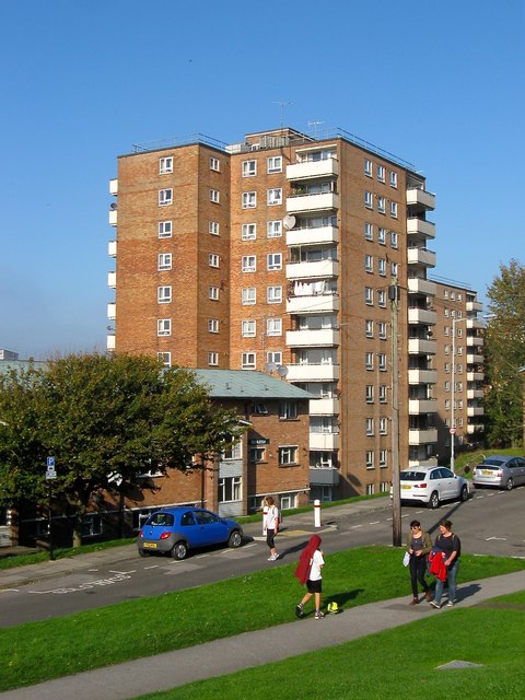
Image: © Simon Carey Taken: 1 Nov 2015
Built around 1959 as part of the Albion Hill slum clearances. Viewed from Sussex Street with John Street in the foreground. Just visible beyond is another high rise, Courtlands.
Images are licensed for reuse under creativecommons.org/licenses/by-sa/2.0
Image Location
Latitude
50.825899
Longitude
-0.132742