Houses and the Methodist Church in Brayford
Introduction
The photograph on this page of Houses and the Methodist Church in Brayford by David Smith as part of the Geograph project.
The Geograph project started in 2005 with the aim of publishing, organising and preserving representative images for every square kilometre of Great Britain, Ireland and the Isle of Man.

There are currently over 7.5m images from over 14,400 individuals and you can help contribute to the project by visiting https://www.geograph.org.uk
Houses and the Methodist Church in Brayford
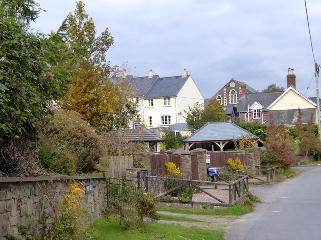
Image: © David Smith Taken: 9 Oct 2015
The distinctive shape of the west end of the chapel is visible from the main road into the village from the A399
Images are licensed for reuse under creativecommons.org/licenses/by-sa/2.0
Image Location
Latitude
51.096966
Longitude
-3.877342