Stratton, Meadow Bottom
Introduction
The photograph on this page of Stratton, Meadow Bottom by Mike Faherty as part of the Geograph project.
The Geograph project started in 2005 with the aim of publishing, organising and preserving representative images for every square kilometre of Great Britain, Ireland and the Isle of Man.

There are currently over 7.5m images from over 14,400 individuals and you can help contribute to the project by visiting https://www.geograph.org.uk
Stratton, Meadow Bottom
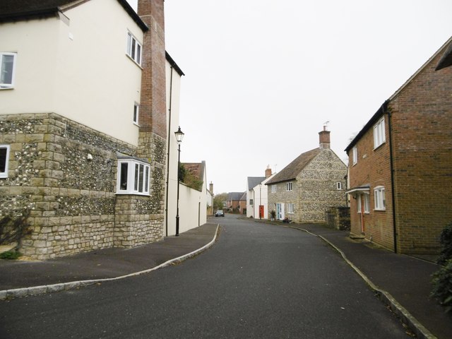
Image: © Mike Faherty Taken: 3 Nov 2015
Like most of the housing in this corner of the village, modern; but showing sympathetic use of vernacular cladding (thatch or stone and flint).
Images are licensed for reuse under creativecommons.org/licenses/by-sa/2.0
Image Location
Latitude
50.742288
Longitude
-2.49896