Top-down development?
Introduction
The photograph on this page of Top-down development? by Roger W Haworth as part of the Geograph project.
The Geograph project started in 2005 with the aim of publishing, organising and preserving representative images for every square kilometre of Great Britain, Ireland and the Isle of Man.

There are currently over 7.5m images from over 14,400 individuals and you can help contribute to the project by visiting https://www.geograph.org.uk
Top-down development?
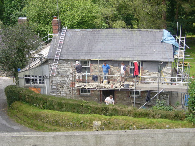
Image: © Roger W Haworth Taken: 7 Jun 2007
They seem to be completely rebuilding this cottage under the existing roof. Note that the inner wall is breeze blocks but the facing is stone.
Images are licensed for reuse under creativecommons.org/licenses/by-sa/2.0
Image Location
Latitude
51.860215
Longitude
-4.48118