Rough grazing north of Marley Hill
Introduction
The photograph on this page of Rough grazing north of Marley Hill by Trevor Littlewood as part of the Geograph project.
The Geograph project started in 2005 with the aim of publishing, organising and preserving representative images for every square kilometre of Great Britain, Ireland and the Isle of Man.

There are currently over 7.5m images from over 14,400 individuals and you can help contribute to the project by visiting https://www.geograph.org.uk
Rough grazing north of Marley Hill
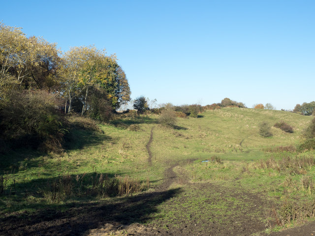
Image: © Trevor Littlewood Taken: 2 Nov 2015
Marley Hill is a small village, now part of Gateshead; the roughly grassed area lies to the west of the A692 connecting it with Sunniside, another village of Gateshead.
Images are licensed for reuse under creativecommons.org/licenses/by-sa/2.0
Image Location
Latitude
54.91952
Longitude
-1.681552