Farmland by the Monarch's Way
Introduction
The photograph on this page of Farmland by the Monarch's Way by Derek Harper as part of the Geograph project.
The Geograph project started in 2005 with the aim of publishing, organising and preserving representative images for every square kilometre of Great Britain, Ireland and the Isle of Man.

There are currently over 7.5m images from over 14,400 individuals and you can help contribute to the project by visiting https://www.geograph.org.uk
Farmland by the Monarch's Way
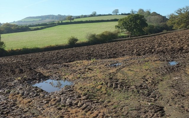
Image: © Derek Harper Taken: 31 Oct 2015
Looking to the left from the same spot as Image] just north of Venn Farm, with Hardown Hill in the distance.
Images are licensed for reuse under creativecommons.org/licenses/by-sa/2.0
Image Location
Latitude
50.750134
Longitude
-2.827052