Leeds inner ring road A58(M)
Introduction
The photograph on this page of Leeds inner ring road A58(M) by Stephen Craven as part of the Geograph project.
The Geograph project started in 2005 with the aim of publishing, organising and preserving representative images for every square kilometre of Great Britain, Ireland and the Isle of Man.

There are currently over 7.5m images from over 14,400 individuals and you can help contribute to the project by visiting https://www.geograph.org.uk
Leeds inner ring road A58(M)
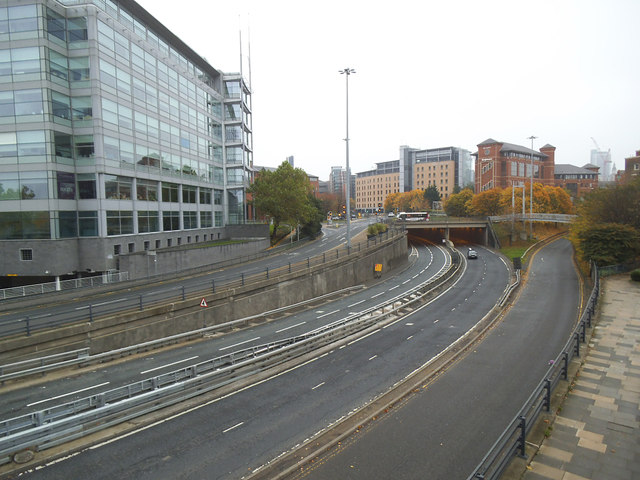
Image: © Stephen Craven Taken: 31 Oct 2015
During the week this is a very busy road but on a Saturday morning there was very little traffic. Viewed from a pedestrian footbridge Image
Images are licensed for reuse under creativecommons.org/licenses/by-sa/2.0
Image Location
Latitude
53.799051
Longitude
-1.555732