Closed road, Alness
Introduction
The photograph on this page of Closed road, Alness by Richard Webb as part of the Geograph project.
The Geograph project started in 2005 with the aim of publishing, organising and preserving representative images for every square kilometre of Great Britain, Ireland and the Isle of Man.

There are currently over 7.5m images from over 14,400 individuals and you can help contribute to the project by visiting https://www.geograph.org.uk
Closed road, Alness
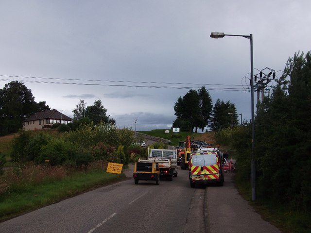
Image: © Richard Webb Taken: 5 Aug 2015
Completely closed, but there was always the trick of cutting through the golf club car park. However somebody's son or daughter had thought of that and placed the opposite fence precisely to prevent that. Thanks! A local provided a work round by directing me through a nearby quarry!
Images are licensed for reuse under creativecommons.org/licenses/by-sa/2.0
Image Location
Latitude
57.701869
Longitude
-4.25874