Line of a footpath
Introduction
The photograph on this page of Line of a footpath by Jonathan Billinger as part of the Geograph project.
The Geograph project started in 2005 with the aim of publishing, organising and preserving representative images for every square kilometre of Great Britain, Ireland and the Isle of Man.

There are currently over 7.5m images from over 14,400 individuals and you can help contribute to the project by visiting https://www.geograph.org.uk
Line of a footpath
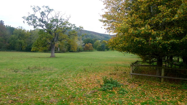
Image: © Jonathan Billinger Taken: 17 Oct 2015
Heading north-west from Trewyn Lodge. The hill beyond is Pentwyn hillfort and is at the southern tip of the Hatterrall Ridge which forms the English/Welsh border from Pandy to Hay Bluff.
Images are licensed for reuse under creativecommons.org/licenses/by-sa/2.0
Image Location


Leaflet Map data © OpenStreetMap
Latitude
51.899547
Longitude
-2.97168