Woodland path up to Oakdale
Introduction
The photograph on this page of Woodland path up to Oakdale by M J Roscoe as part of the Geograph project.
The Geograph project started in 2005 with the aim of publishing, organising and preserving representative images for every square kilometre of Great Britain, Ireland and the Isle of Man.

There are currently over 7.5m images from over 14,400 individuals and you can help contribute to the project by visiting https://www.geograph.org.uk
Woodland path up to Oakdale
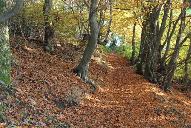
Image: © M J Roscoe Taken: 1 Nov 2015
Path leads up the hillside from a minor road, The Rhiw, to the former B4251. The wood is part of the Penmaen Woodlands Site of Importance for Nature Conservation.
Images are licensed for reuse under creativecommons.org/licenses/by-sa/2.0
Image Location
Latitude
51.678845
Longitude
-3.183465