Underpass from Clewer Village to Windsor Leisure Centre
Introduction
The photograph on this page of Underpass from Clewer Village to Windsor Leisure Centre by Jaggery as part of the Geograph project.
The Geograph project started in 2005 with the aim of publishing, organising and preserving representative images for every square kilometre of Great Britain, Ireland and the Isle of Man.

There are currently over 7.5m images from over 14,400 individuals and you can help contribute to the project by visiting https://www.geograph.org.uk
Underpass from Clewer Village to Windsor Leisure Centre
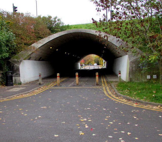
Image: © Jaggery Taken: 24 Oct 2015
Under the A332. The leisure centre http://www.geograph.org.uk/photo/4724895 is a few tens of metres beyond the far end of the underpass.
Images are licensed for reuse under creativecommons.org/licenses/by-sa/2.0
Image Location
Latitude
51.48549
Longitude
-0.623563