Drumaroad Hill descending NNE from the village of Drumaroad
Introduction
The photograph on this page of Drumaroad Hill descending NNE from the village of Drumaroad by Eric Jones as part of the Geograph project.
The Geograph project started in 2005 with the aim of publishing, organising and preserving representative images for every square kilometre of Great Britain, Ireland and the Isle of Man.

There are currently over 7.5m images from over 14,400 individuals and you can help contribute to the project by visiting https://www.geograph.org.uk
Drumaroad Hill descending NNE from the village of Drumaroad
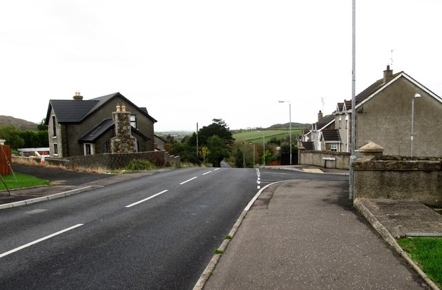
Image: © Eric Jones Taken: 31 Oct 2015
Drumaroad village stands on a large drumlin off the B175 Castlewellan to Ballynahinch Road. Drumaroad Hill links with the B175.
Images are licensed for reuse under creativecommons.org/licenses/by-sa/2.0
Image Location
Latitude
54.32532
Longitude
-5.897798