Flooding on Cauley's Pipe Road
Introduction
The photograph on this page of Flooding on Cauley's Pipe Road by Eric Jones as part of the Geograph project.
The Geograph project started in 2005 with the aim of publishing, organising and preserving representative images for every square kilometre of Great Britain, Ireland and the Isle of Man.

There are currently over 7.5m images from over 14,400 individuals and you can help contribute to the project by visiting https://www.geograph.org.uk
Flooding on Cauley's Pipe Road
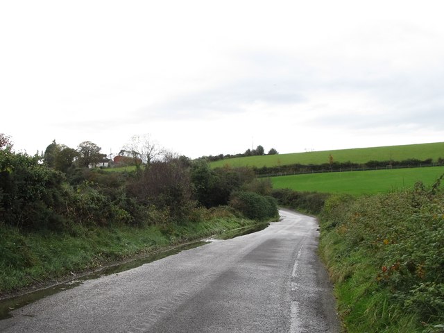
Image: © Eric Jones Taken: 31 Oct 2015
Here the road runs across the flood plain of the Moneycarragh River. Until late the road was notorious for its potholes, but repairs have been carried out this year by NI Transport. http://www.downnews.co.uk/councillor-patrick-clarke-welcomes-cauleys-pipe-road-repairs/
Images are licensed for reuse under creativecommons.org/licenses/by-sa/2.0
Image Location
Latitude
54.316216
Longitude
-5.911634