Carrick Hill, Belfast (November 2015)
Introduction
The photograph on this page of Carrick Hill, Belfast (November 2015) by Albert Bridge as part of the Geograph project.
The Geograph project started in 2005 with the aim of publishing, organising and preserving representative images for every square kilometre of Great Britain, Ireland and the Isle of Man.

There are currently over 7.5m images from over 14,400 individuals and you can help contribute to the project by visiting https://www.geograph.org.uk
Carrick Hill, Belfast (November 2015)
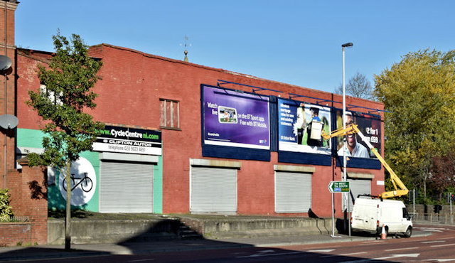
Image: © Albert Bridge Taken: 1 Nov 2015
Carrick Hill at the corner of Clifton Street – an area included in the Northview redevelopment proposals.
Images are licensed for reuse under creativecommons.org/licenses/by-sa/2.0
Image Location
Latitude
54.605193
Longitude
-5.933233