Boundary Stone
Introduction
The photograph on this page of Boundary Stone by Adrian Dust as part of the Geograph project.
The Geograph project started in 2005 with the aim of publishing, organising and preserving representative images for every square kilometre of Great Britain, Ireland and the Isle of Man.

There are currently over 7.5m images from over 14,400 individuals and you can help contribute to the project by visiting https://www.geograph.org.uk
Boundary Stone
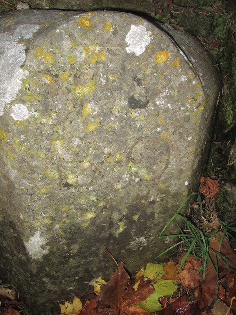
Image: © Adrian Dust Taken: 31 Oct 2015
This BS can be found at the entrance to the cemetery. It has an OS cut mark on the front which marks a point 21.542m above mean sea level.
Images are licensed for reuse under creativecommons.org/licenses/by-sa/2.0
Image Location
Latitude
51.697073
Longitude
-4.93391