Bossmans Corner, Braunton
Introduction
The photograph on this page of Bossmans Corner, Braunton by David Smith as part of the Geograph project.
The Geograph project started in 2005 with the aim of publishing, organising and preserving representative images for every square kilometre of Great Britain, Ireland and the Isle of Man.

There are currently over 7.5m images from over 14,400 individuals and you can help contribute to the project by visiting https://www.geograph.org.uk
Bossmans Corner, Braunton
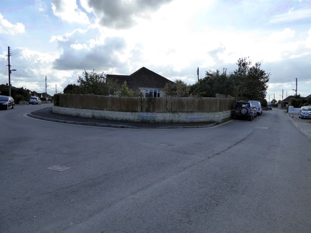
Image: © David Smith Taken: 9 Oct 2015
On the left is Burrows Park, a residential cul-de-sac. The road on the right leads to the Great Field
Images are licensed for reuse under creativecommons.org/licenses/by-sa/2.0
Image Location
Latitude
51.107379
Longitude
-4.169334