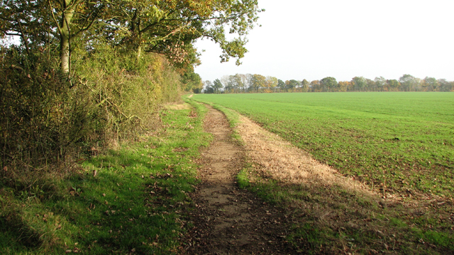
Footpath near Airfield Farm
Introduction
The photograph on this page of Footpath near Airfield Farm by Evelyn Simak as part of the Geograph project.
The Geograph project started in 2005 with the aim of publishing, organising and preserving representative images for every square kilometre of Great Britain, Ireland and the Isle of Man.
There are currently over 7.5m images from over 14,400 individuals and you can help contribute to the project by visiting https://www.geograph.org.uk

Image: © Evelyn Simak Taken: 31 Oct 2015
The path follows a concreted road dating from WW2. It used to link the accommodation sites of RAF Hardwick with each other. Communal Site B was located on the other site of the hedge seen at left. Hardwick airfield was opened in December 1942, and the 93rd Bombardment (H) Group had settled in by February 1943.The group was part of the 20th Combat Wing of the 2nd Air Division of the 8th Air Force and the first B-24 Unit in Europe, arriving in September 1942. The airfield has long since been returned to agriculture and only part of one runway still remains. The main buildings such as the control tower are long gone but on the surrounding farms a number of dispersed buildings are still in (farm) use. See also: http://www.geograph.org.uk/article/RAF-Hardwick---USAAF-Station-104

