A232 Croydon Road BR2 junction with A233
Introduction
The photograph on this page of A232 Croydon Road BR2 junction with A233 by Philip Talmage as part of the Geograph project.
The Geograph project started in 2005 with the aim of publishing, organising and preserving representative images for every square kilometre of Great Britain, Ireland and the Isle of Man.

There are currently over 7.5m images from over 14,400 individuals and you can help contribute to the project by visiting https://www.geograph.org.uk
A232 Croydon Road BR2 junction with A233
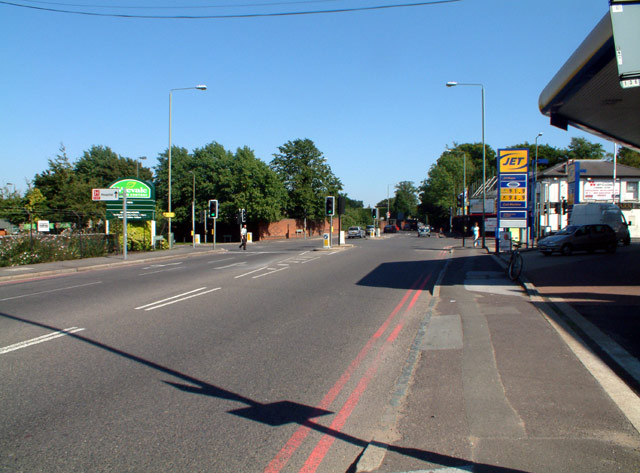
Image: © Philip Talmage Taken: 31 Aug 2005
Looking east; Oakley Road to the north, Westerham Road to the south. A Wyevale garden centre is northwest of the crossroads, with a Jet filling station to the southwest. The site of the former pub (The Keston Mark) southeast of the crossroads is being redeveloped for "exclusive" dwellings (i.e. anyone, presumably, with the requisite dosh).
Images are licensed for reuse under creativecommons.org/licenses/by-sa/2.0
Image Location


Leaflet Map data © OpenStreetMap
Latitude
51.370686
Longitude
0.045797