Crop field at New House Farm
Introduction
The photograph on this page of Crop field at New House Farm by Trevor Rickard as part of the Geograph project.
The Geograph project started in 2005 with the aim of publishing, organising and preserving representative images for every square kilometre of Great Britain, Ireland and the Isle of Man.

There are currently over 7.5m images from over 14,400 individuals and you can help contribute to the project by visiting https://www.geograph.org.uk
Crop field at New House Farm
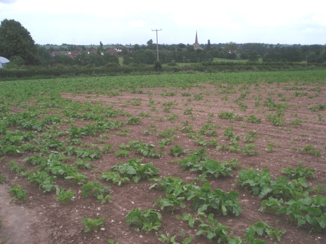
Image: © Trevor Rickard Taken: 20 Jun 2007
With a view towards Chaddesley Corbett and its church.
Images are licensed for reuse under creativecommons.org/licenses/by-sa/2.0
Image Location


Leaflet Map data © OpenStreetMap
Latitude
52.364123
Longitude
-2.161497