Hendre Close
Introduction
The photograph on this page of Hendre Close by E Gammie as part of the Geograph project.
The Geograph project started in 2005 with the aim of publishing, organising and preserving representative images for every square kilometre of Great Britain, Ireland and the Isle of Man.

There are currently over 7.5m images from over 14,400 individuals and you can help contribute to the project by visiting https://www.geograph.org.uk
Hendre Close
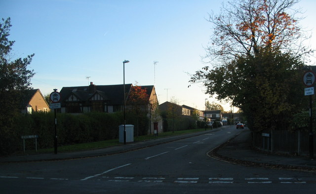
Image: © E Gammie Taken: 31 Oct 2015
A 1960s in-fill cul-de-sac behind 1920s/30s housing on Broad Lane. The postbox a few yards into the close has been moved here from its former location outside the now-defunct Post Office at the corner of Glendower Avenue and Broad Lane ( Image] ).
Images are licensed for reuse under creativecommons.org/licenses/by-sa/2.0
Image Location
Latitude
52.405552
Longitude
-1.552802