Queensbury station
Introduction
The photograph on this page of Queensbury station by Dr Neil Clifton as part of the Geograph project.
The Geograph project started in 2005 with the aim of publishing, organising and preserving representative images for every square kilometre of Great Britain, Ireland and the Isle of Man.

There are currently over 7.5m images from over 14,400 individuals and you can help contribute to the project by visiting https://www.geograph.org.uk
Queensbury station
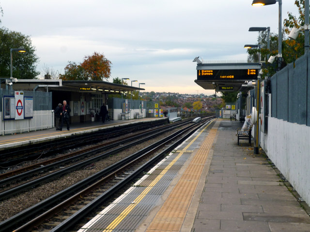
Image: © Dr Neil Clifton Taken: 30 Oct 2015
This station was built by the Metropolitan Railway on their Stanmore branch, but it did not open as early as the other stations on the line as there was, at the time, little development in the area. That soon changed, and the name of the area, Queensbury, was chosen to fit with Kingsbury, the next main settlement. In 1939 when the Bakerloo Line was extended from Baker Street to Finchley Road, it took over the Stanmore branch, so Queensbury became a Bakerloo Line station. But that changed again in 1976 with the coming of the Jubilee Line, which took over that part of the Bakerloo from Baker Street to Stanmore. Jubilee Line trains now operate from Stratford to Stanmore.
Images are licensed for reuse under creativecommons.org/licenses/by-sa/2.0
Image Location
Latitude
51.594079
Longitude
-0.286209