Old lane through to Leegomery
Introduction
The photograph on this page of Old lane through to Leegomery by Richard Law as part of the Geograph project.
The Geograph project started in 2005 with the aim of publishing, organising and preserving representative images for every square kilometre of Great Britain, Ireland and the Isle of Man.

There are currently over 7.5m images from over 14,400 individuals and you can help contribute to the project by visiting https://www.geograph.org.uk
Old lane through to Leegomery
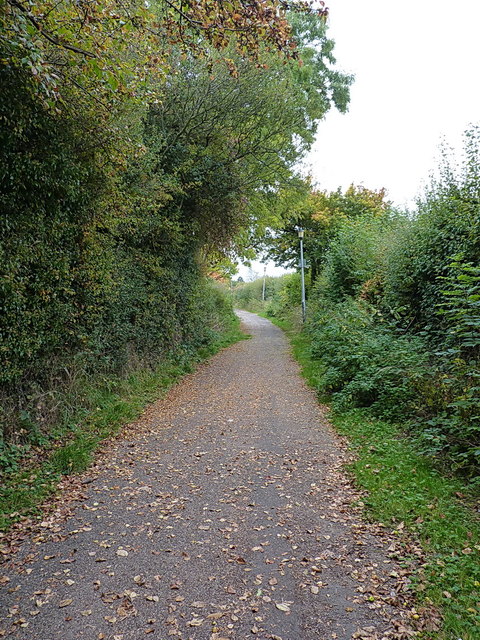
Image: © Richard Law Taken: 18 Oct 2015
The line of the former road between Wellington and Leegomery Hall, now 'downgraded' to a footpath through the modern housing estates of north Telford.
Images are licensed for reuse under creativecommons.org/licenses/by-sa/2.0
Image Location
Latitude
52.708195
Longitude
-2.503482