Taylor Wimpey development site
Introduction
The photograph on this page of Taylor Wimpey development site by Philip Halling as part of the Geograph project.
The Geograph project started in 2005 with the aim of publishing, organising and preserving representative images for every square kilometre of Great Britain, Ireland and the Isle of Man.

There are currently over 7.5m images from over 14,400 individuals and you can help contribute to the project by visiting https://www.geograph.org.uk
Taylor Wimpey development site
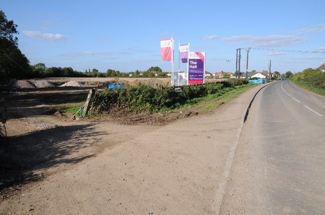
Image: © Philip Halling Taken: 26 Sep 2015
The signs are up and work is beginning on this land beside Box Road which gives access to Cam & Dursley Station.
Images are licensed for reuse under creativecommons.org/licenses/by-sa/2.0
Image Location
Latitude
51.713286
Longitude
-2.364259