Newcastle-under-Lyme: footpath off Silverdale Road
Introduction
The photograph on this page of Newcastle-under-Lyme: footpath off Silverdale Road by Jonathan Hutchins as part of the Geograph project.
The Geograph project started in 2005 with the aim of publishing, organising and preserving representative images for every square kilometre of Great Britain, Ireland and the Isle of Man.

There are currently over 7.5m images from over 14,400 individuals and you can help contribute to the project by visiting https://www.geograph.org.uk
Newcastle-under-Lyme: footpath off Silverdale Road
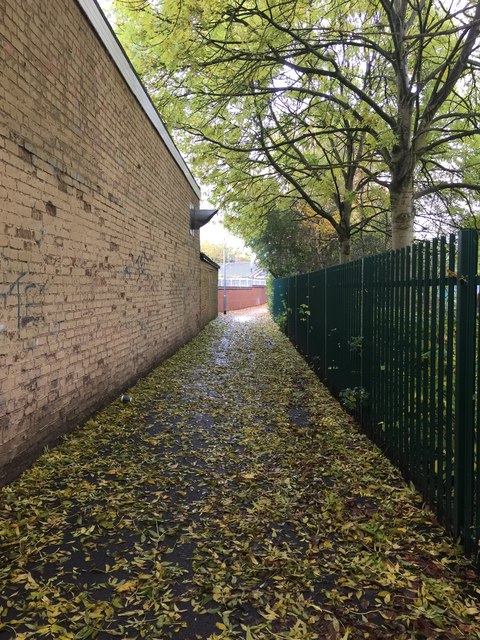
Image: © Jonathan Hutchins Taken: 29 Oct 2015
This public footpath designated Newcastle FP 117, runs from Silverdale Road to join the end of Stanier Street, behind St Mary's Roman Catholic Primary School.
Images are licensed for reuse under creativecommons.org/licenses/by-sa/2.0
Image Location
Latitude
53.01305
Longitude
-2.236201