Tram on Hollyhedge Road
Introduction
The photograph on this page of Tram on Hollyhedge Road by Alan Murray-Rust as part of the Geograph project.
The Geograph project started in 2005 with the aim of publishing, organising and preserving representative images for every square kilometre of Great Britain, Ireland and the Isle of Man.

There are currently over 7.5m images from over 14,400 individuals and you can help contribute to the project by visiting https://www.geograph.org.uk
Tram on Hollyhedge Road
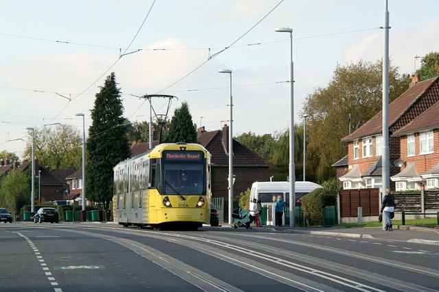
Image: © Alan Murray-Rust Taken: 26 Oct 2015
There is traditional street track along Hollyhedge Road, but what is less traditional is that there are no stops on this section. This seems to be because there was there was no room to fit in the high platforms necessary on the Metrolink system. The stops at either end – Martinscroft and Benchill – are over one mile apart, despite running through a major housing development.
Images are licensed for reuse under creativecommons.org/licenses/by-sa/2.0
Image Location
Latitude
53.388999
Longitude
-2.263089