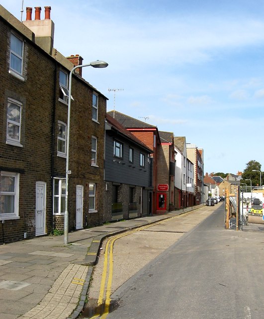
Albion Street, Brighton
Introduction
The photograph on this page of Albion Street, Brighton by Simon Carey as part of the Geograph project.
The Geograph project started in 2005 with the aim of publishing, organising and preserving representative images for every square kilometre of Great Britain, Ireland and the Isle of Man.
There are currently over 7.5m images from over 14,400 individuals and you can help contribute to the project by visiting https://www.geograph.org.uk

Image: © Simon Carey Taken: 25 Oct 2015
Built around 1815 and running from Richmond Street (now Richmond Parade) to Waterloo Street (now Phoenix Place). Near enough all of the street was demolished in the late 1950s as part of the large Albion Hill redevelopment with the exception of number 4-6 on the left, which can be seen in this 1956 image - http://regencysociety-jamesgray.com/volume27/source/jg_27_071.html. Next door is the former Stable Inn, which replaced the older Albion Inn which dated from the 1860s, which later became the Live Lounge but has closed in the last few years. Beyond was the Albion Brewery which closed in 1892 having been purchased by Tamplins who operated at the far end of the road. The buildings remained and were put to other uses until demolition in 1982, see http://regencysociety-jamesgray.com/volume27/source/jg_27_112.html , and were replaced by an Elim Church which has recently moved out and the building converted into residences.

