Knutton: The decline of Methodism
Introduction
The photograph on this page of Knutton: The decline of Methodism by Jonathan Hutchins as part of the Geograph project.
The Geograph project started in 2005 with the aim of publishing, organising and preserving representative images for every square kilometre of Great Britain, Ireland and the Isle of Man.

There are currently over 7.5m images from over 14,400 individuals and you can help contribute to the project by visiting https://www.geograph.org.uk
Knutton: The decline of Methodism
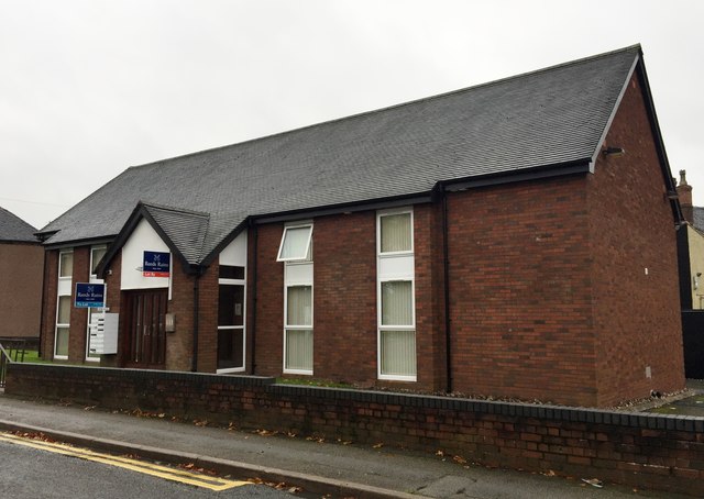
Image: © Jonathan Hutchins Taken: 29 Oct 2015
This former Methodist church replaced several older churches when it opened in 1980. However after a life of only 30 years or so it closed, and in 2014 was sold. It is now a multiple-occupancy house with communal kitchen and lounge and 13 en-suite bedrooms.
Images are licensed for reuse under creativecommons.org/licenses/by-sa/2.0
Image Location
Latitude
53.020928
Longitude
-2.251898