Porthleven's former National School
Introduction
The photograph on this page of Porthleven's former National School by Richard Law as part of the Geograph project.
The Geograph project started in 2005 with the aim of publishing, organising and preserving representative images for every square kilometre of Great Britain, Ireland and the Isle of Man.

There are currently over 7.5m images from over 14,400 individuals and you can help contribute to the project by visiting https://www.geograph.org.uk
Porthleven's former National School
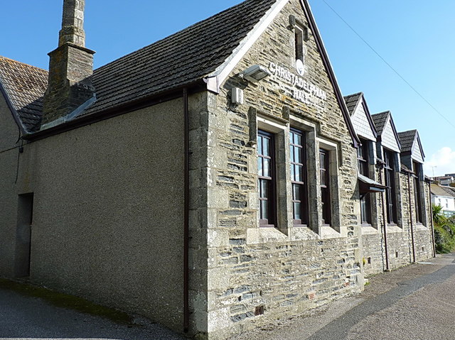
Image: © Richard Law Taken: 15 Oct 2015
Now displaying a sign that says it's the Christadelphian Hall, but a stone set into the wall on the far side gives the game away - it was originally the National School, built in the early 1840s.
Images are licensed for reuse under creativecommons.org/licenses/by-sa/2.0
Image Location
Latitude
50.086598
Longitude
-5.316162