The former Ashton Methodist Church
Introduction
The photograph on this page of The former Ashton Methodist Church by Richard Law as part of the Geograph project.
The Geograph project started in 2005 with the aim of publishing, organising and preserving representative images for every square kilometre of Great Britain, Ireland and the Isle of Man.

There are currently over 7.5m images from over 14,400 individuals and you can help contribute to the project by visiting https://www.geograph.org.uk
The former Ashton Methodist Church
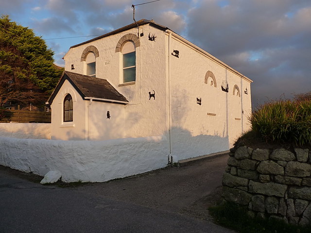
Image: © Richard Law Taken: 14 Oct 2015
I reckon the dedication stone on the gable says 1842, but it might be 1802 Image; either way, it now appears to be converted to a private dwelling.
Images are licensed for reuse under creativecommons.org/licenses/by-sa/2.0
Image Location
Latitude
50.109554
Longitude
-5.353141