St Luke's, Bromley Common BR2
Introduction
The photograph on this page of St Luke's, Bromley Common BR2 by Philip Talmage as part of the Geograph project.
The Geograph project started in 2005 with the aim of publishing, organising and preserving representative images for every square kilometre of Great Britain, Ireland and the Isle of Man.

There are currently over 7.5m images from over 14,400 individuals and you can help contribute to the project by visiting https://www.geograph.org.uk
St Luke's, Bromley Common BR2
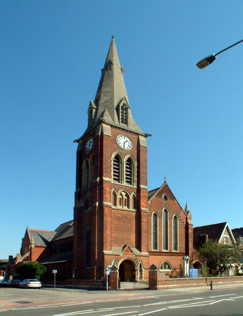
Image: © Philip Talmage Taken: 31 Aug 2005
Opening in 1887 to serve the fast growing community between the old town and that at the southern end of Bromley Common, and to relieve the pressure on Holy Trinity Church, St Luke's was built and opened in sections as money became available, the tower not being completed until 1910.
Images are licensed for reuse under creativecommons.org/licenses/by-sa/2.0
Image Location


Leaflet Map data © OpenStreetMap
Latitude
51.392879
Longitude
0.031406